
Niskayuna Neighbors Block Sources
For Niskayuna neighbors, public sources answer narrow questions about a block. The assessor and county map context can identify a parcel and its recorded or assessed-owner information. An election map can identify district geography. Community organizations offer public contact routes. None converts a nearby parcel, a district, or an organization contact into proof that a particular person lives at an address.
| Source | What It Shows About a Block | Access Coverage |
|---|---|---|
| Town Assessor and County Beacon | Assessment, parcel, tax-map, owner, lot, and mailing context as dated by source | Town links and public mapping, subject to the county disclaimer |
| County SIMS Lite | Spatial setting, boundaries, roads, land-use, planning, aerial, and historic-map layers | Public GIS viewer, not a deed or survey |
| Election district maps | Address-oriented election and county legislative district geography | Public interactive maps and Niskayuna map downloads |
| New York voter lookup | Registration and poll-site information for a known voter | County, name, date of birth, and ZIP form; not a block roster |
| Community organizations | Public purpose, contact route, event, and program context | Public contact pages, with no public member roster located |
An owner name on an assessment or parcel result does not prove occupancy. A mailing address can differ from the situs address, and one parcel can have several households. The safe label is the recorded or assessed owner shown by the source and date. For an immediate block question, the practical sequence is address, parcel, surrounding parcels, map layer, then a separate check of the appropriate public agency or community contact.
Niskayuna Neighbors Parcel Map
Begin with the street address exactly as supplied by the Postal Service, including unit and mailing city where known. The Town Assessor links a 2026 residential inventory sorted by street address, while Beacon generally offers name, address, parcel-ID, and alternate-ID modes. Keep the parcel identifier once it is found. It is the stable bridge between an address that may be formatted differently and the map context around it.
- Check the address against the Town Assessor material and retain the assessment year, address form, and parcel or tax-map identifier.
- Open the same identifier or address in Beacon. Compare the parcel context with the assessor result because a mailing address and situs can differ.
- Open SIMS Lite, locate the parcel, and use its visible layers to inspect the immediate surrounding parcels, roads, Town boundary, and mapped context.
- Open each surrounding parcel only as a separate dated parcel record. Do not treat a map position or an owner field as proof of a household.
- For a full named-street records trail, use the Niskayuna Street Directory rather than expanding a block lookup into a street-wide people list.
Use County SIMS Lite for the public spatial layers that place a Niskayuna block in its map context.
The layer controls matter. SIMS supports real-property, E-911, election, planning, natural-resource, and historic-map context, but it is not a legal survey, deed image, or occupancy list.
Niskayuna Neighbors Election Districts
The Schenectady County Board of Elections publishes an address-oriented election-district map and downloadable Town of Niskayuna map files. This is useful for a civic block question: it can show where an address falls for election-district and county-legislative geography. District assignment can change after redistricting, so keep the map date and do not treat an old district line as permanent.
The state voter lookup is narrower than a neighbor search. Its rendered form requires county, last name, first name, date of birth in the stated format, and ZIP. It is for a known voter’s registration or poll-site information, not a way to list people around an address. Election Law §§3-103, 5-602, and 5-604 govern list access and purpose limits. A state request needs the required election-purpose certification, and confidential voter registration is a reason a person may be intentionally absent from ordinary results.
Note: a result not located in the checked voter interface may reflect status, timing, name variation, confidential registration, or the checked county and ZIP scope.
Niskayuna Neighbors Community Contacts
Niskayuna neighbors can also connect through public local organizations, but those pages should remain contact routes, not household indexes. The Town’s community information includes groups, places of worship, sports, parks, events, and projects. The public materials reviewed do not supply a complete membership directory. Use an organization’s own public contact details for a program or event question instead of inferring a member’s home or block.
| Organization | Public contact route | What the public page does not prove |
|---|---|---|
| Niskayuna Neighbors Network | 1121 Millington Road, PO Box 9554, Niskayuna, NY 12309; 518-631-2402 | Membership or a member’s residence |
| Niskayuna Community Action Program, N-CAP | PO Box 9009, Niskayuna, NY 12309; info@ncapnisky.org; 518-374-0744 | Participation as proof that someone lives in the Town |
The Niskayuna Neighbors Network public page describes an all-volunteer, member-driven nonprofit for adults 60 and over, with social, cultural, educational, transportation, errand, and appointment-support activities.
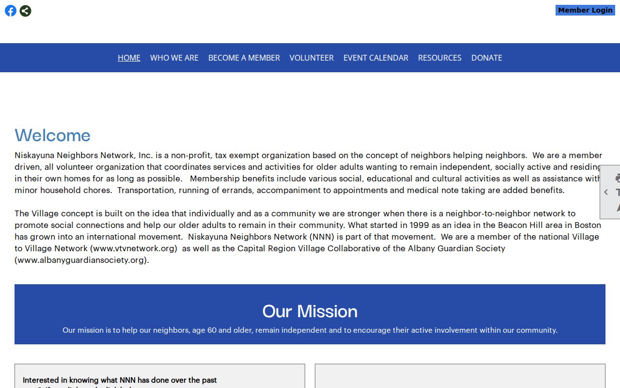
That public description supplies a route to the organization. N-CAP is a community coalition associated with Niska-Day. Neither source supplies a roster, and no public member directory was located in the reviewed material.
Niskayuna Neighbors Official Records
Official sources and commercial data products serve different purposes. A dated public record can be checked against its custodian and scope. Commercial products may combine older entries, public data, and unverified associations, so they should not replace a map, assessor record, election map, or direct community contact. For a block question, choose the source that matches the question and retain the access limit with the result.
| Category | Useful for | Limit |
|---|---|---|
| Official parcel and assessment records | Dated parcel, ownership, and mailing context | Not proof of occupancy |
| Official election maps and lookup | District geography and a known voter’s poll-site task | Purpose restrictions and protected records apply |
| Community organization contact pages | Program, event, or organization contact | Not a resident or member roster |
| Commercial data products | A lead that needs independent checking | May be stale, mixed, incomplete, or incorrectly associated |
When the source does not publish the needed detail, use the agency’s official request path rather than joining scattered snippets into a profile. The County FOIL form asks for a detailed request, and a narrow parcel, map, or permit request is more useful than a broad request about people.
Niskayuna Neighbors Road Context
Current project notices can help explain a block’s changing public setting. They do not prove ownership, residency, or a property boundary. The Route 7 corridor notice, dated June 15, 2026, described open houses and a corridor from Saint David’s Lane to Mohegan Road, with proposed lanes, shoulders, landscaped medians, a Hickory Road signal, and crosswalks.
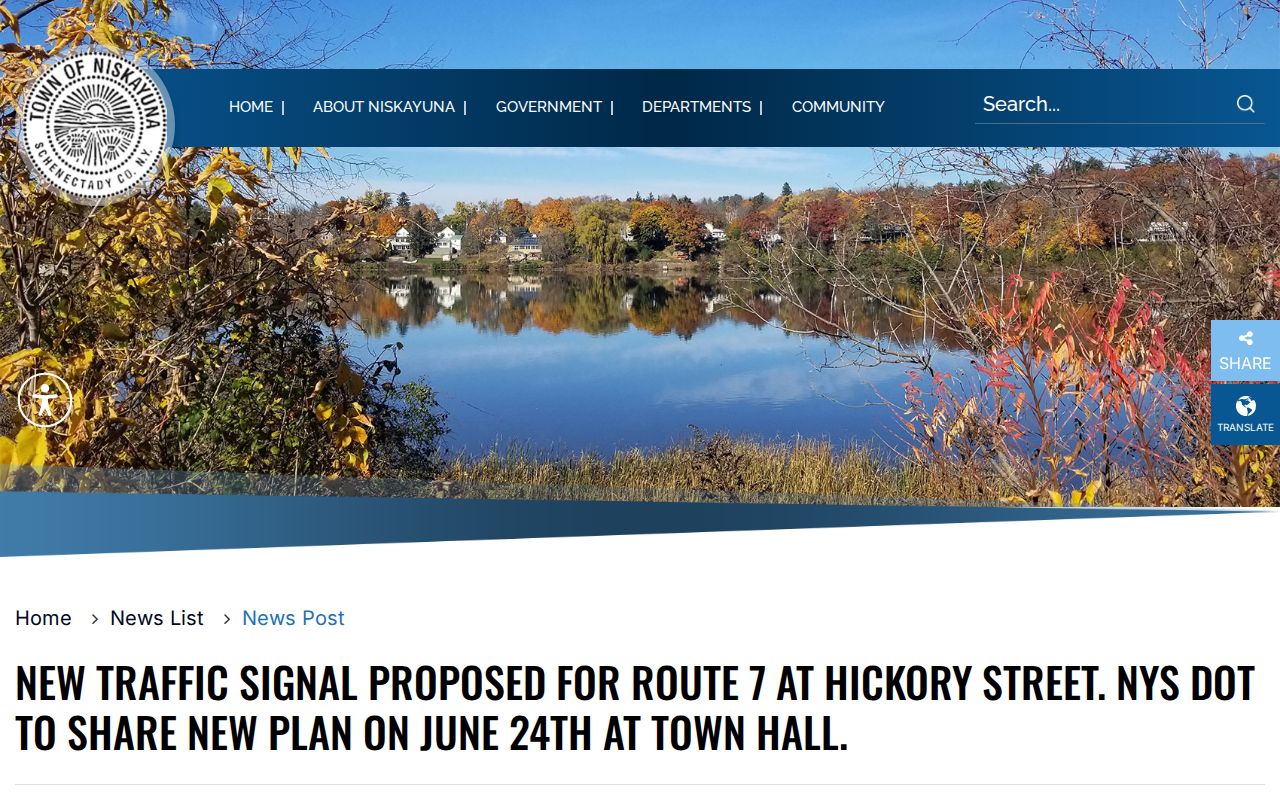
The dated notice is place context only. Parcel questions near the corridor still belong with the Town Assessor, County GIS, Building Department, or County Clerk record that addresses the specific question.
The Nott Street sidewalk notice covered work from Baker Avenue to Lexington Parkway, dated for August 3-28, 2026, with weekday work hours and minor delays expected. It described pedestrian connectivity toward Ellis Hospital and Balltown Road through a Town, City, county, and Complete Streets collaboration.
Road work can change travel or pedestrian conditions on a Niskayuna block. It is not evidence about a nearby household or parcel owner.
Niskayuna Neighbors ZIP Caution
ZIP 12309 is a useful postal and planning label, but it is not a civil-boundary proof. County planning material groups 12309 with Niskayuna, while nearby 12304 and 12308 labels cover other planning areas. USPS identifies the Niskayuna Post Office at 2320 Nott Street East in Schenectady, NY 12309-9211. A Niskayuna civil-town address can therefore use a Schenectady mailing city.
For a block map, retain both address types: USPS mailing form and Town of Niskayuna civil location. SIMS and the New York civil-boundary geography can check the Town polygon, while USPS validates delivery form. If a street crosses a boundary or the ZIP overlaps jurisdictions, verify the exact point instead of relying on the ZIP label alone. The county tax-map coverage includes the Town of Niskayuna as well as other county municipalities, so a visible nearby parcel is not automatically a Town parcel.
Niskayuna Neighbors Privacy Limits
New York public-record access has limits. New York Public Officers Law, FOIL §§84-90 supports a reasonably described request, subject to exemptions, but it does not authorize assembling sensitive information about a block. Do not publish dates of birth, signatures, personal phone or email details, identification numbers, medical information, or a protected physical address. The Address Confidentiality Program and confidential voter registration can make an address intentionally unavailable or substituted.
Use an official source only for the question it can answer. A parcel owner is not necessarily an occupant. A voter result is not a neighborhood roster. A club or event page is not a social graph. If a result is absent, record the checked source and date, then use the agency’s lawful process or public contact route rather than attempting to work around a protected record.
A Niskayuna Town FOIL request should identify a document set with dates, titles, file designations, or an address and parcel identifier. The form distinguishes approved, denied, not found, and not maintained results, with appeal direction to the Town Supervisor. Under FOIL, an agency generally grants, denies, or acknowledges a request within five business days and gives an approximate date if more time is needed. That process concerns access to a defined record, not permission to republish every field that may appear in it.
Lawful use. Niskayuna neighbor research is for civic context, public agency contact, and respectful community connection. Do not use public records or maps to watch, harass, intimidate, or harm anyone.